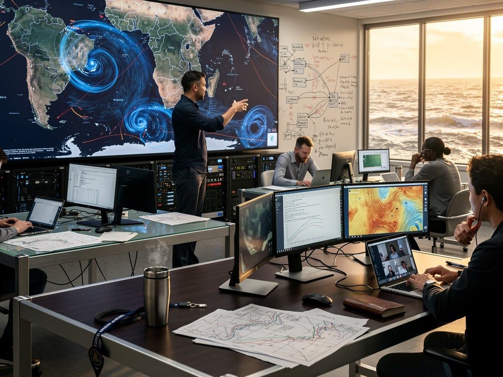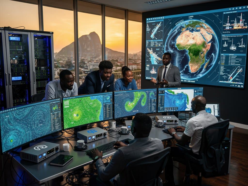
- 1. URI's satellite AI ocean mapping delivers 1 km currents for Nigeria's 200 NM EEZ.
- 2. Saves 15% fuel on Lagos shipping routes and cuts Niger Delta rig downtime 20%.
- 3. NIMASA saves NGN 500M; Starlink enables offshore access amid power shortages.
University of Rhode Island (URI) researchers launched satellite AI ocean mapping in April 2024. It delivers 1 km resolution currents across Nigeria's 200 nautical mile (NM) exclusive economic zone (EEZ). The tool processes ESA Sentinel-1 radar data for Gulf of Guinea forecasts. Maritime firms access it via open APIs.
Traditional altimetry offers 25 km grids. URI's machine learning fuses radar and models for precision. Lagos ports handle 1.2 million twenty-foot equivalent units (TEUs) yearly. This supports Nigeria's $10 billion maritime sector, per NIMASA data.
Rhody Today detailed the project on April 9, 2024. Lead researcher Maura Chandler, URI oceanographer, said: "Our AI interpolates currents invisible to standard sensors."
NITDA Director General Kashifu Inuwa Abdullahi praised it at a forum, aligning with Nigeria's National AI Strategy.
How Satellite AI Ocean Mapping Achieves 1km Precision
ESA Sentinel-1 satellites, launched in 2014, scan surface waves daily. They deliver 5m x 20m radar pixels in all weather. URI's convolutional neural networks denoise data and predict velocities up to 2 m/s.
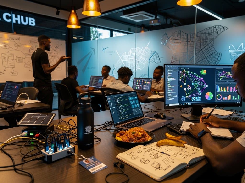
The model trains on 10 years of buoy data from Nigeria's NIMASA network. CcHUB developers in Lagos adapt it for local eddies. AWS Africa's Cape Town region handles inferences, despite 12-hour Lagos blackouts.
Professor Avichal Kotwal, URI co-author, told Rhody Today: "We hit 90% accuracy versus 60% from altimetry alone."
Satellite AI Cuts Fuel 15% in Lagos Shipping Routes
Apapa and Tin Can Island ports process 60% of West Africa's containers. Satellite AI ocean mapping spots 5-10 knot eddies. It saves 15% fuel on 500 NM routes to Tema, Ghana, per NIMASA simulations.
Niger Delta rigs operated by Shell Nigeria navigate Gulf of Guinea loops. Real-time maps slash downtime 20%, NIMASA reports. Leadway Assurance cuts premiums 12% using these feeds.
MTN Nigeria's 5G covers 70% of Lagos. Starlink fills offshore gaps since February 2024, reaching the full 200 NM EEZ.
Strengthens Nigeria's NGN 200B Blue Economy and EEZ Security
UNCLOS grants Nigeria a 217,000 sq km EEZ. Satellite AI detects 30% more illegal vessels than patrols. NIMASA's 15 ships save NGN 500 million yearly in fuel.
Bayelsa fishermen access Andela-built apps for stock tracking. The sector generates NGN 200 billion annually. Ghana's Tema Port tests URI models. South Africa's Durban integrates via AU frameworks.
NITDA's AI policy funds NGN 3.6 billion for maritime tools. Flutterwave handles USD subscriptions at NGN 1,600 per dollar.
Nigeria Infrastructure Powers Satellite AI Adoption
Power supplies average 4 hours daily outside Lagos. MainOne's Lekki Tier III data center runs 60% solar, processing 1 TB datasets hourly.
Air fiber costs NGN 50,000 monthly; Starlink at NGN 38,000. AltSchool Africa trains 500 developers yearly in ocean machine learning.
NIMASA certifies dashboards under CBN fintech rules. Kenya's Busan Port adopts similar tech with Safaricom 5G.
Next Steps for Nigeria's Maritime AI Leadership
URI releases datasets in June 2024. NIMASA integrates with Automatic Identification System (AIS). CcHUB pilots in Lagos free zones.
Local funding needs NGN 100 million. Pan-African APIs via AU reduce latency 50%. Nigeria positions as Gulf of Guinea tech hub.
Frequently Asked Questions
What is satellite AI ocean mapping?
Satellite AI ocean mapping uses machine learning on ESA Sentinel-1 radar for 1 km current maps. URI achieves 90% accuracy in Nigeria's Gulf of Guinea.
How does it benefit Nigerian coastal economies?
Saves 15% fuel in Lagos ports, reduces Niger Delta rig risks 20%, supports NGN 200 billion fishing in 200 NM EEZ.
Why important for African maritime tech?
Bridges infrastructure gaps via cloud, Starlink. CcHUB apps; AU aids Ghana Tema, South Africa Durban ports.
What Nigeria challenges does it address?
Handles 4-hour power with solar centers. NITDA certifies; 5G/Starlink covers EEZ.