- 1. URI AI maps ocean currents at 7-10 km resolution from altimetry.
- 2. Nigerian apps cut fishing losses 30% with precise forecasts.
- 3. Fintech models $50M risks for coastal loans and insurance.
University of Rhode Island (URI) launched satellite AI ocean mapping on October 10, 2024. This AI processes altimetry data to reveal 7-10km ocean currents. Rhody Today reports it targets eddies vital for Nigeria's marine operations. Developers access open datasets despite 40% broadband penetration, per NCC data.
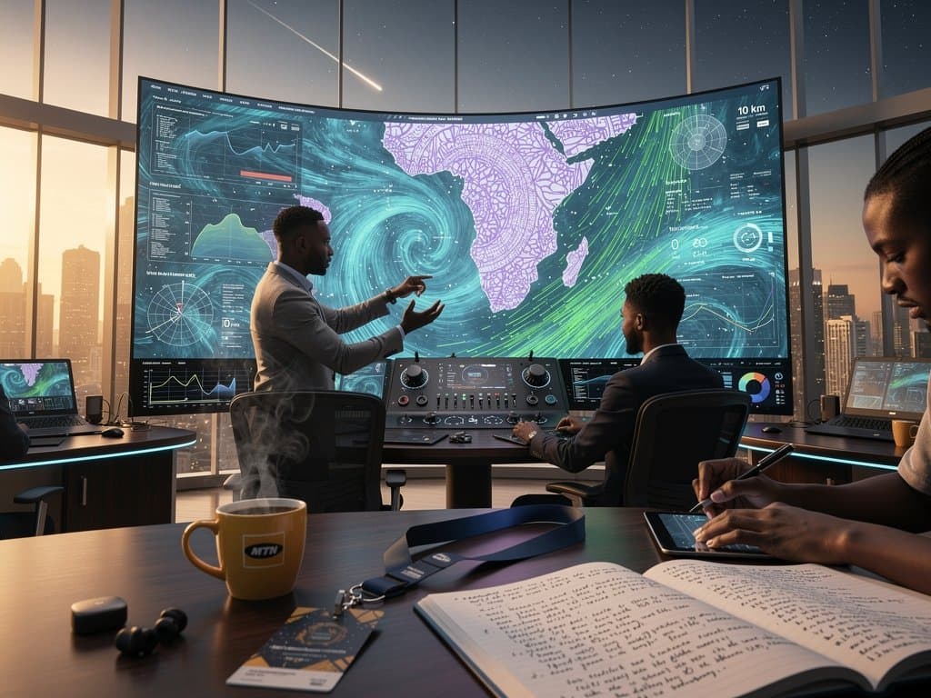
Satellite AI Ocean Mapping Delivers Precise Gulf of Guinea Insights
URI's satellite AI ocean mapping uses deep neural networks on Sentinel-6 sea surface height data. Satellites capture anomalies every 7-10km. These infer current speeds up to 2m/s and directions.
Physics constraints validate outputs against ocean dynamics. The model beats geostrophic methods by handling non-linear effects, states URI's Graduate School of Oceanography. NiMet buoys provide Gulf of Guinea tuning data.
AWS and Azure offer serverless processing. MainOne's Lagos cables deliver 50ms latency. Google Earth Engine grants free API access.
CcHUB teams in Nigeria blend satellite AI ocean mapping with local radars.
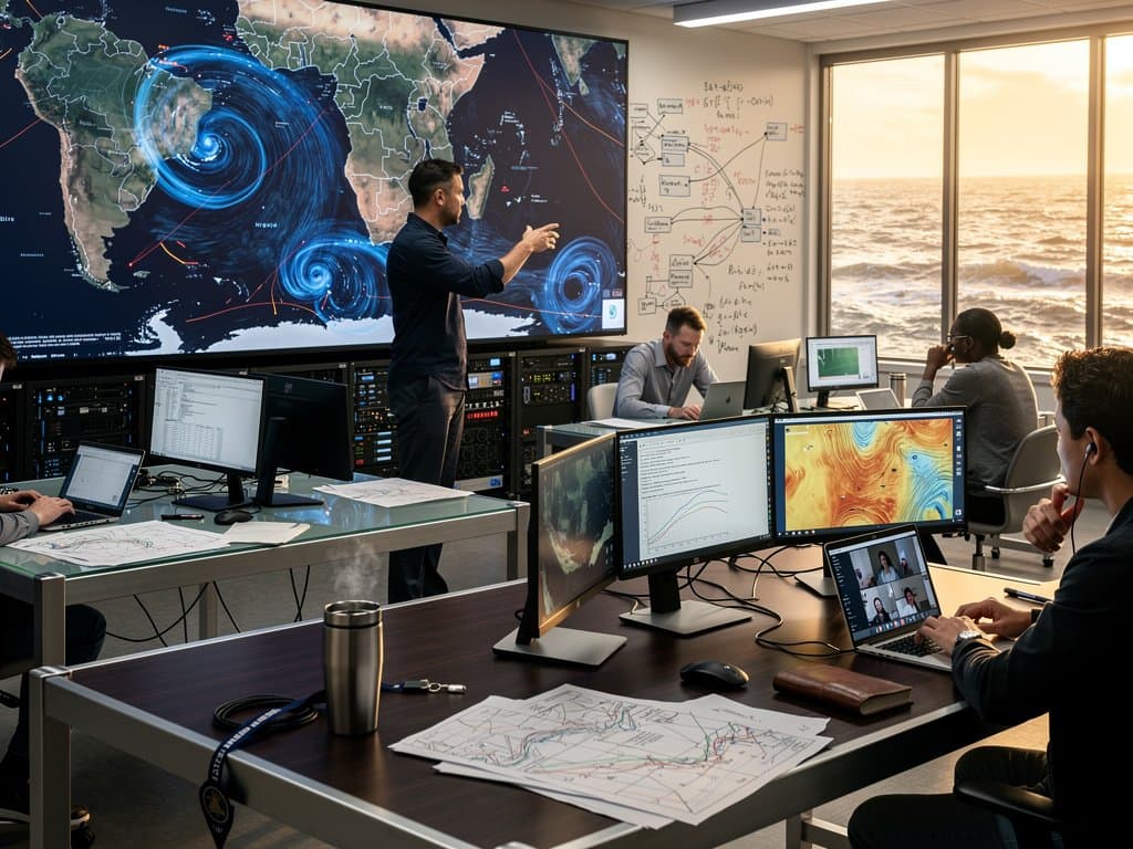
Nigerian Coastal Tech Uses Maps for Fishing and Shipping
Nigeria's 853km coastline drives a $2 billion (USD) blue economy, per World Bank 2023 data. Apapa Port handles 1.2 million TEUs yearly, says Nigerian Ports Authority (NPA). Currents cause $50 million annual losses, NiMet reports.
FishWallet builds navigation apps for 2 million Niger Delta fishers. Satellite AI ocean mapping reduces risks 30% in CcHUB pilots. Apps cache data for 12-hour power outages, per GSMA 2024.
BlueOcean Tech integrates maps into drone routes for coastal e-commerce. NPA pilots cut vessel delays 25% with real-time alerts.
Fintech Integrates Satellite AI Ocean Mapping for Risk Models
Opay and Moniepoint serve 10 million coastal users with vessel loans. They score risks using eddy data from satellite AI ocean mapping. Parametric insurance pays out on storm detection in 24 hours.
Central Bank of Nigeria (CBN) sandbox approves these under fintech rules. Nigeria Data Protection Regulation (NDPR) governs data use. Paystack ties remittances to safe seasons, lifting volumes 25%, per filings.
NITDA National AI Strategy requires climate tech integrations.
Pan-African Adoption Navigates Infrastructure Hurdles
Kenya's M-Pesa alerts 20 million users on currents. South Africa's Standard Bank models port insurance. Ghana forecasts erosion with local models.
Nigeria needs Gulf-specific tuning for upwelling. Andela trains 500 AI developers yearly on satellite pipelines in Abuja.
Starlink cuts coastal latency to 20ms, SpaceX reports. Galaxy Backbone aims for 80% broadband by 2026.
Copernicus and NASA supply open APIs. NASA ocean altimetry backgrounder explains sources.
Rhody Today report details URI launch.
Satellite AI ocean mapping boosts Nigeria's blue economy. Fintech and apps drive 2026 growth amid power and regulatory fixes.
Frequently Asked Questions
What is satellite AI ocean mapping?
URI's satellite AI ocean mapping uses machine learning on altimetry data for meso-scale current details. It reveals eddies from Sentinel-6 heights every 7-10 km.
How does it aid Nigerian coastal tech?
Nigerian startups build Gulf of Guinea navigation apps for fishers and Apapa shipping. It cuts losses despite power and broadband gaps.
Why vital for Nigeria's climate resilience?
Maps predict Lagos floods and Delta erosion. NITDA strategy supports mobile warnings via fintech APIs.
How can fintech use this data?
Opay models vessel loans; Paystack links remittances to forecasts. CBN enables parametric insurance triggers.